Within this preserve is Lake County's highest natural elevation. Gander Mountain tops out at 957 feet above sea level. The site's 125-foot hill is the result of deposits left from the retreating Laurentide glacier at the end of the last ice age, 10,000 to 12,000 years ago.
The glacier once covered five million square miles from Hudson Bay in northern Canada to New England and across the upper Midwestern states.
Ice as much as a quarter-mile thick covered most of Illinois.
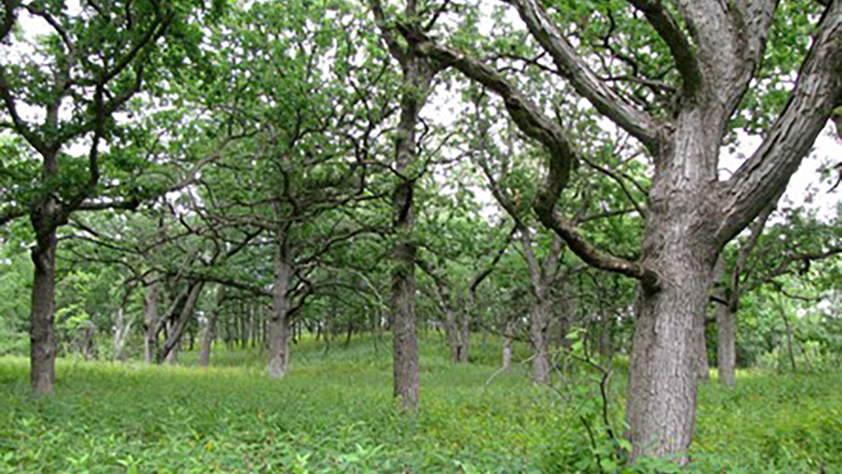
The glacier impacted the land around us, including the noted landmark of Gander Mountain, a kame terrace formed by melting ice at the edge of the glacier depositing sand, gravel and boulders. The site was also an oak-hickory woodland on top of the mountain and a floodplain forest at bottom.
In 1836, the government land surveyor noted a Native American garden at this site.
 SUMMER OUTDOOR GUIDE
 ROAD TRIPS
 Volo Museum
 Family-Friendly Dining
 Breakfast/Brunch
 Lakeside Dining
 MainStreet Libertyville
 Historic Downtown Long Grove
 Downtown Highland Park
 Great Wolf Lodge Illinois
 Lincolnshire Marriott Resort
 Hyatt Deerfield
 Visitors Guide
 Special Offers
 Accommodations
 Weddings
 Group Tours
 Military Reunions
 Community Partners
 Partner Directory
 Become a Partner